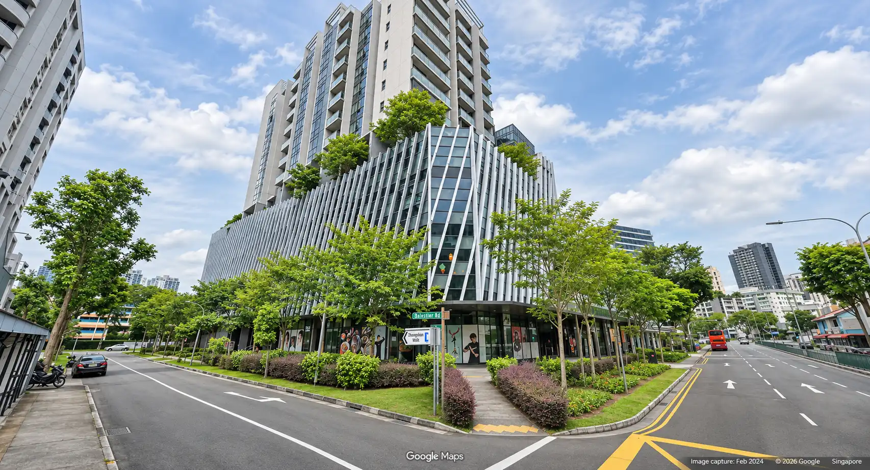
Establish your business at Hiap Hoe Building at Zhongshan Park, located at 18 Ah Hood Road, Singapore 329983. Set within the established Balestier neighbourhood, the building offers a convenient office address close to Novena’s commercial and medical hubs, with Orchard Road also within easy reach.
The location provides access to the Central Expressway and Pan Island Expressway, supporting travel across Singapore. Bus services along Balestier Road offer public transport connections, while Novena and Toa Payoh MRT stations are a short drive away.
The surrounding neighbourhood combines heritage shophouses with established commercial activity, providing a distinctive setting for your workplace. Businesses can enjoy proximity to central Singapore while remaining connected to the amenities of the Balestier–Novena area.
Approximately 300 basement parking spaces serve the wider development, adding convenience for staff and visitors travelling by car.
Enquire About This Property
Check current availability and rental terms, arrange a viewing, or discuss whether the space could meet your business needs.
Share your requirements and we will get in touch. No obligation to proceed.
Rent, availability, specifications and suitability for your intended use are subject to confirmation.
Hiap Hoe Building: Location & Nearby
Explore nearby transport, selected schools, supermarkets, food centres, recreation, shopping destinations and selected hotels. Select a place to see its location or an estimated walking or public transport route.
Nearby amenities at a glance
Selected places near Hiap Hoe Building. Distances are approximate straight-line distances from the nearest reviewed development gate to saved map points, not walking distances or times. Gate access restrictions may apply. School points represent campuses; distances are not for Primary 1 admission.
MRT / LRT
TOA PAYOH MRT STATION(NS19)— 648 mLORONG 6 TOA PAYOH
United Square Shopping Mall— 1.11 km101 Thomson Road, Singapore 307591
Use the map below to select gates, review entrance choices and request walking or public transport directions. This overview lists the saved selections; map filters do not change it. Sources and data dates are listed below.
Calculating walking route…
List distances are straight-line estimates. Walking routes start at the named gate and exclude walking within the development or indoors. Mapped shop and food-centre points may differ from entrances. Park walks use a map reference point unless an entrance has been reviewed. Check access restrictions, opening hours and temporary closures; routes do not confirm sheltered or step-free access. Public transport estimates include buses and MRT/LRT, use current services and include walking and waiting; they are not live bus arrivals. Walking sections are dashed, bus routes are blue and rail routes are purple. School distances are not for P1 admission. Lists and source coverage may be incomplete.
Food & Markets: NEA via data.gov.sg; retrieved 21 Nov 2026. See the source for its coverage period. Singapore Open Data Licence. Covers NEA-listed centres and selected supplementary food locations, not all restaurants, coffee shops or private food courts.
Parks & Recreation: NParks park points and SportSG facilities, via data.gov.sg, retrieved 21 Nov 2026. Singapore Open Data Licence. Park reference points are not entrances or nearest boundaries; large parks may have nearer entrances outside the source-point search. SportSG coverage excludes Dual Use Scheme venues. Selected attractions and museums use separately sourced official addresses, matched by exact postal code through OneMap; these are not part of the NParks / SportSG datasets. Check operator access, fees, bookings, current opening status and source coverage dates.