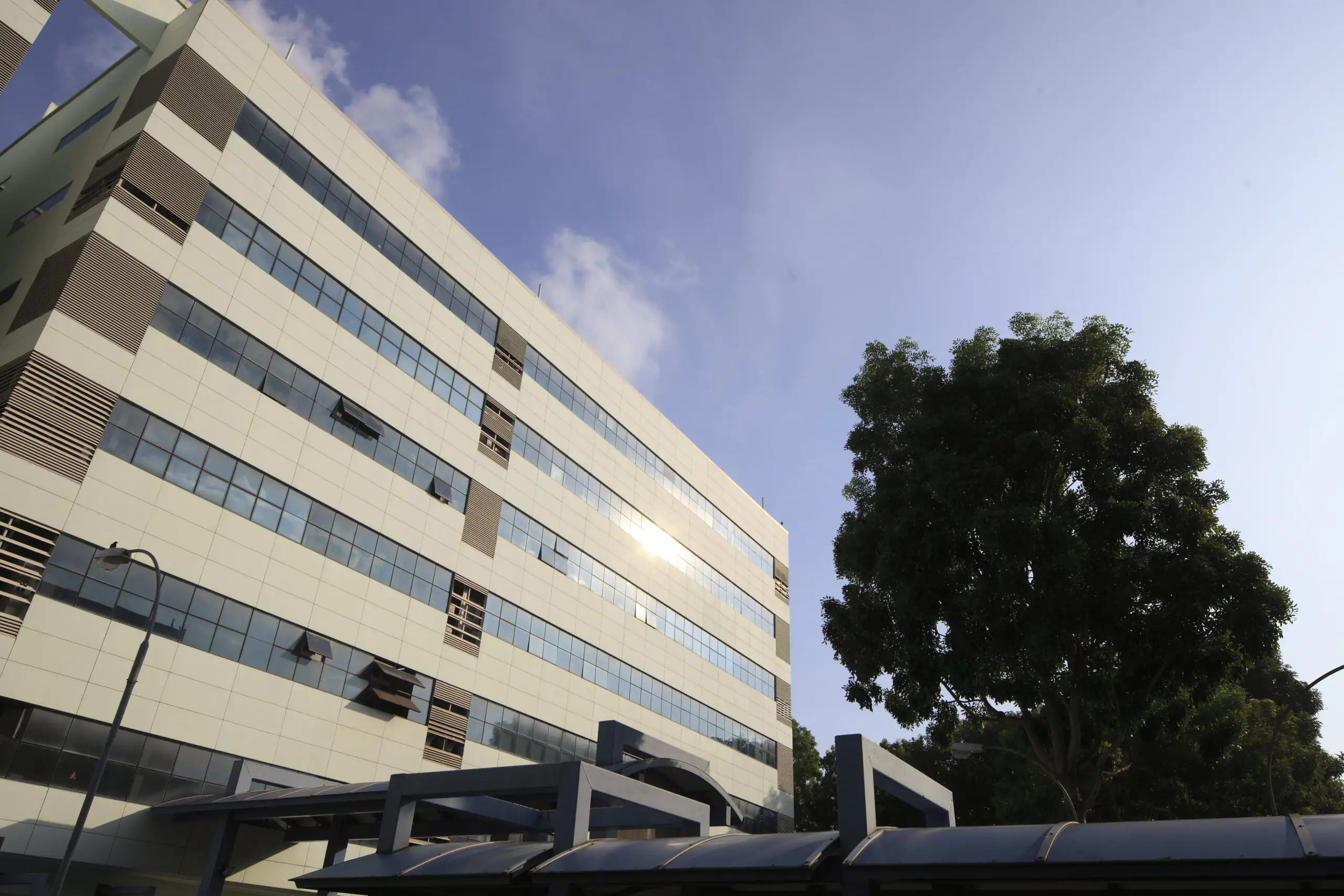
Loyang 2 is an industrial development at 2, 4 and 4A Loyang Lane, within Loyang Industrial Estate in eastern Singapore. Comprising two six-storey flatted factory blocks and an amenity centre, the development offers a practical location for businesses seeking premises within an established industrial estate.
The surrounding estate supports businesses providing ancillary services to the aerospace and electronics sectors. This makes Loyang 2 an option for companies seeking a location among related industrial activities, subject to the proposed use and relevant approvals.
The development is accessible by public transport and connects to major expressways, including the East Coast Parkway (ECP), Tampines Expressway (TPE) and Pan Island Expressway (PIE), supporting travel across Singapore.
Property highlights
Address: 2, 4 and 4A Loyang Lane
Two six-storey flatted factory blocks
Amenity centre within the development
Located within Loyang Industrial Estate
Accessible via public transport, ECP, TPE and PIE
Enquire About This Property
Check current availability and rental terms, arrange a viewing, or discuss whether the space could meet your business needs.
Share your requirements and we will get in touch. No obligation to proceed.
Rent, availability, specifications and suitability for your intended use are subject to confirmation.
Loyang 2: Location & Nearby
Explore nearby transport, selected schools, supermarkets, food centres, recreation, shopping destinations and selected hotels. Select a place to see its location or an estimated walking or public transport route.
Nearby amenities at a glance
Selected places near Loyang 2. Distances are approximate straight-line distances from the nearest reviewed development gate to saved map points, not walking distances or times. Gate access restrictions may apply. School points represent campuses; distances are not for Primary 1 admission.
Bus stops
KRISLITE BLDG(98121)— 144 mLOYANG WAY
OPP KRISLITE BLDG(98129)— 145 mLOYANG WAY
LOYANG VALLEY(98049)— 320 mLOYANG AVE
Show 3 more bus stops
OPP LOYANG VALLEY(98041)— 340 mLOYANG AVE
AFT BEF LOYANG WAY 1(98139)— 395 mLOYANG WAY
BEF LOYANG AVE(97091)— 659 mLOYANG WAY
Supermarkets
Sheng Siong — 258 Pasir Ris Street 21— 788 m258 Pasir Ris Street 21 #02-10 Singapore 510258
Giant — LOYANG POINT— 837 m259 Pasir Ris Street 21 #01-27 Loyang Point Singapore 510259
Use the map below to select gates, review entrance choices and request walking or public transport directions. This overview lists the saved selections; map filters do not change it. Sources and data dates are listed below.
Calculating walking route…
List distances are straight-line estimates. Walking routes start at the named gate and exclude walking within the development or indoors. Mapped shop and food-centre points may differ from entrances. Park walks use a map reference point unless an entrance has been reviewed. Check access restrictions, opening hours and temporary closures; routes do not confirm sheltered or step-free access. Public transport estimates include buses and MRT/LRT, use current services and include walking and waiting; they are not live bus arrivals. Walking sections are dashed, bus routes are blue and rail routes are purple. School distances are not for P1 admission. Lists and source coverage may be incomplete.
Parks & Recreation: NParks park points and SportSG facilities, via data.gov.sg, retrieved 19 Nov 2026. Singapore Open Data Licence. Park reference points are not entrances or nearest boundaries; large parks may have nearer entrances outside the source-point search. SportSG coverage excludes Dual Use Scheme venues. Selected attractions and museums use separately sourced official addresses, matched by exact postal code through OneMap; these are not part of the NParks / SportSG datasets. Check operator access, fees, bookings, current opening status and source coverage dates.
Shopping destinations & hotels: selected 224-location catalogue updated 1 Nov 2026. Source links: ntucclub.com · hdb.gov.sg. 17 location records adapted from curioputterings / singapore-mall-data, CC BY 4.0; additional linked mall, operator and other address records located by exact postal code with OneMap. Compiled snapshots may be older than retrieval. Shopping and hotel map points are not reviewed entrances; coverage and current operating status are not guaranteed.